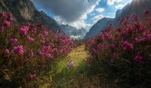
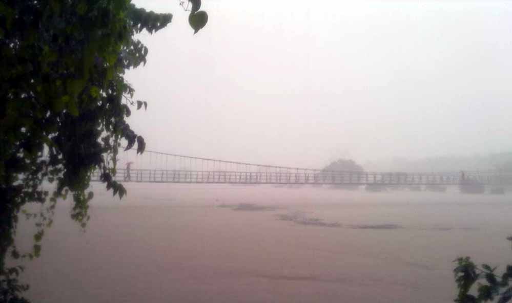
TURA, West Garo Hills — The final 12 kilometers from Daribokgre Village to Nokrek National Park test even experienced drivers. The road—if it can be called that—narrows to a rutted track carved through dense subtropical forest, climbing steadily toward the Tura Range. Mist clings to the canopy. Hornbill calls echo through the valleys. And somewhere in these 47.48 square kilometers of protected wilderness, descendants of the world's first citrus fruits still grow wild.
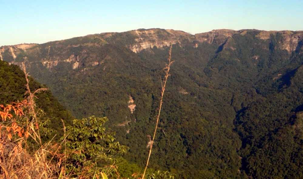
Established as a national park in 1986 and designated a UNESCO Biosphere Reserve in September 1988—then added to the Man and Biosphere (MAB) Programme's World Network in May 2009—Nokrek represents one of India's most significant but least-visited biodiversity hotspots (Singh, 2015; UNESCO, 2009). Located 45 kilometers from Tura in West Garo Hills, Meghalaya, this reserve encompasses the Nokrek Peak, the highest point in the Garo Hills at 1,412 meters above sea level (UNESCO, 2009).
For botanists, the park harbors Citrus indica Tanaka, believed to be the ancestral species from which all cultivated citrus fruits evolved. For wildlife biologists, it shelters enigmatic populations of red pandas (Ailurus fulgens) at elevations and latitudes far from their typical Himalayan range. For conservationists, it exemplifies both the promise and peril of protected areas in indigenous landscapes facing development pressures.
THE GENE SANCTUARY THAT FEEDS THE WORLD
In 1973, botanists exploring the Nokrek region made a discovery that would reshape scientific understanding of citrus evolution. Growing wild on the forested slopes, they found Citrus indica Tanaka—what researchers now call the "Indian wild orange" or "Memang Narang" in the local Garo language (Down To Earth, 2009).
Genetic analyses revealed that this unassuming wild fruit represented the progenitor species from which thousands of years of cultivation had produced oranges, lemons, limes, grapefruits, and every other citrus variety consumed globally (Chetry et al., 2021). The implications were profound: this single species, growing only in the Garo Hills, contained the genetic diversity that sustained a multi-billion-dollar global industry.
In response, a section of the Nokrek Biosphere Reserve was declared the National Citrus Gene Sanctuary-cum-Biosphere Reserve—the only such protected area in the world dedicated specifically to preserving wild citrus genetic resources (Down To Earth, 2009). Research by the National Bureau of Plant Genetic Resources documented not only Citrus indica but also wild populations of other rare citrus species, some found nowhere else on Earth (NBPGR, 2012).
Yet this genetic treasure faces mounting threats. Recent studies document alarming trends:
"Very low genetic diversity and destruction of its natural habitat pose serious threat to C. indica even in the Citrus Gene Sanctuary in Nokrek Biosphere Reserve" (Devi et al., 2009, p. 1168).
A 2021 morpho-physico-chemical characterization found that Citrus indica populations show limited regeneration, with most trees reaching senescence without adequate seedling recruitment (Chetry et al., 2021). Climate change, selective harvesting by locals unaware of the fruit's scientific importance, and habitat fragmentation from subsistence agriculture all contribute to the species' decline.
The irony is stark: the genetic foundation of the world's citrus industry survives in a shrinking population vulnerable to extinction within a generation.
THE RED PANDA PARADOX
Among Nokrek's most surprising residents are red pandas—tree-dwelling mammals typically associated with the cold, snowy forests of the eastern Himalayas at elevations above 2,200 meters. Yet scattered records dating back to the 1960s document red pandas in the Garo Hills, thriving at elevations as low as 1,000 meters in subtropical evergreen forests (Red Panda Zine, 2017).
Dr. J. Lao's accidental shooting of a red panda in the Nokrek region in the 1960s provided the first confirmed specimen. Subsequent camera trap surveys and local testimonies have verified ongoing presence, though population size remains unknown (Wikipedia, 2024). As one research team noted:
"In the area of the Garo and the Khasi Hills in the state of Meghalaya, traces of a Red Panda population were found—the only known in a (sub-) tropical region" (Red Panda Zine, 2017, para. 2).
This population represents a biogeographical enigma. How did red pandas—adapted to bamboo-dominated cool temperate forests—establish themselves in warm, humid subtropical zones? Are they relict populations from past climate regimes? Or do they possess genetic adaptations that allow survival in conditions lethal to their Himalayan cousins?
The answers remain elusive because Nokrek's red pandas are among the world's least-studied mammal populations. Dense forest, limited road access, and strict regulations protecting the core zone mean researchers rarely encounter them. Local Garo communities report sightings but lack resources to document them systematically.
What is clear: Nokrek's red pandas face an uncertain future. The International Union for Conservation of Nature lists Ailurus fulgens as Endangered globally, with habitat loss as the primary threat (IUCN, 2025). In Nokrek, coal mining in buffer zones, shifting cultivation (jhum) encroachment, and climate-driven changes to forest composition all reduce suitable habitat.
A BIODIVERSITY HOTSPOT IN NUMBERS
Nokrek's 47.48 square kilometers may seem modest compared to India's vast tiger reserves, but the park punches far above its weight in biodiversity metrics. Studies document:
Mammalian Fauna:
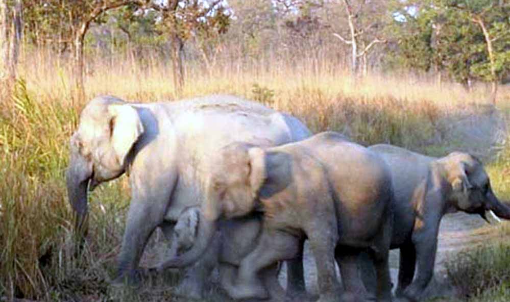
- Asian elephants (Elephas maximus) — migratory herds using the park seasonally
- Royal Bengal tigers (Panthera tigris tigris) — status uncertain; no confirmed sightings since 2010
- Eight species of felids including clouded leopards, marbled cats, golden cats, and leopard cats
- Seven primate species: Western hoolock gibbons (Hoolock hoolock), stump-tailed macaques, pig-tailed macaques, Assamese macaques, capped langurs, and slow lorises
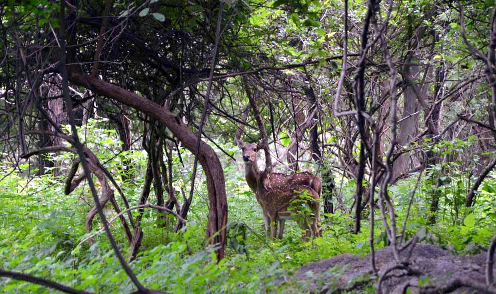
- Wild pigs, barking deer, sambar deer, Indian bison (gaur)
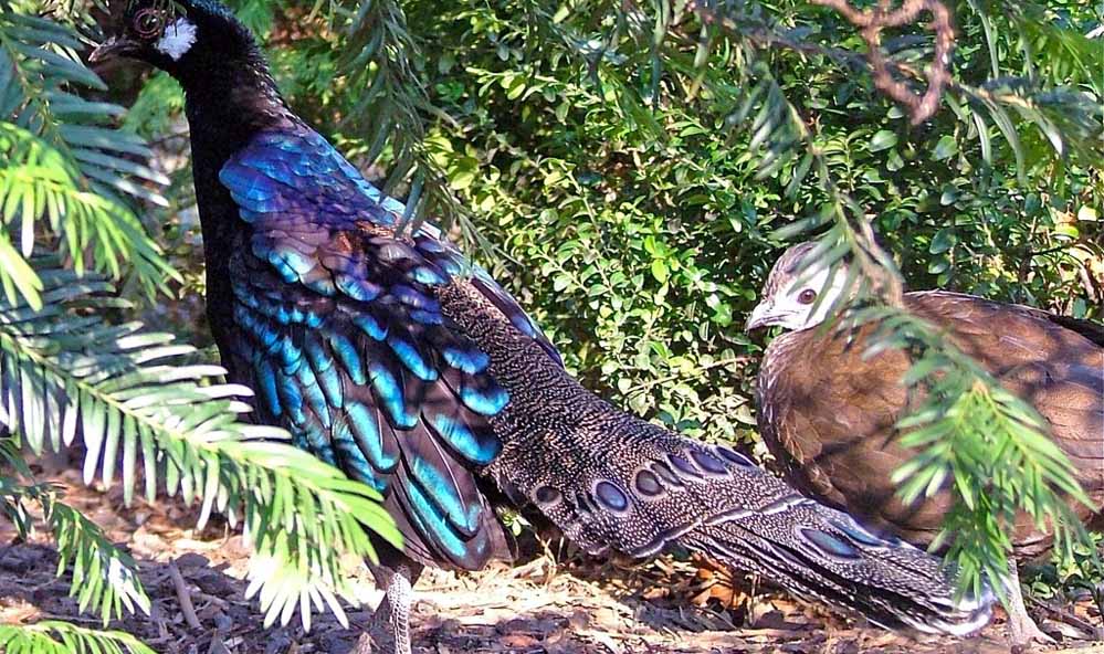
Avifauna: Over 250 bird species recorded, including:
- Great hornbills (Buceros bicornis)
- Rufous-necked hornbills
- Wreathed hornbills
- Blyth's tragopan
- Red junglefowl
- Kalij pheasants
Herpetofauna and Invertebrates: Limited systematic surveys, but known to include endemic frogs, numerous snake species, and rare insects including endemic butterflies (Key Biodiversity Areas, 2024).
Flora: The park harbors over 800 plant species, with dominance by subtropical broadleaf evergreen forests at lower elevations transitioning to pine forests near the peak (Singh, 2015). Noteworthy botanical features include:
- Multiple Citrus species in the Gene Sanctuary
- Over 30 species of orchids
- Medicinal plants used in traditional Garo medicine
- Ancient trees exceeding 300 years in age
One Forest Range Officer accompanying visitors noted: "Life is so close to nature when we step here" (WanderBoat, 2025, para. 3).
THE TREK TO NOKREK PEAK
For the limited number of visitors who secure permits, Nokrek offers one of Northeast India's most rewarding—and challenging—treks.
The Route: The standard trek begins at Daribokgre Village, approximately 12 km from the park boundary. Most trekkers hire local Garo guides through the Forest Department (mandatory for core zone access). The trail covers 16-18 km round trip, with a 5-6 hour duration to the summit and return (Capture A Trip, 2024).
Elevation gain from the trailhead to Nokrek Peak approaches 800 meters. The path follows old hunting trails, now overgrown in sections, winding through dense forest with limited views until the final ascent.
As one TripAdvisor reviewer described in 2024:
"A tiresome 6 hr trekking inside the rich biodiversity of the park will truly please your soul. There is 2-3 ways inside the trekking on track" (TripAdvisor, 2026, review 1).
The trail difficulty is rated moderate to strenuous. Challenges include:
- Steep sections requiring scrambling
- Muddy paths during or after rain
- Leeches (October-April less problematic; May-September severe)
- Limited water sources on the upper trail
- Exposure to sun on the final ridge
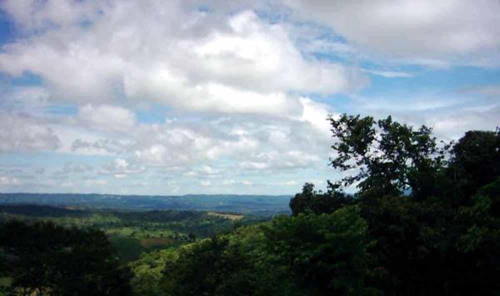
Summit Experience: At 1,412 meters, Nokrek Peak offers panoramic views across the Garo Hills to the south, Bangladesh plains to the west, and on clear days, the Khasi Hills to the east. The peak itself is forested, with a small clearing where trekkers rest and photograph the landscape.
From November through February, morning temperatures at the summit can drop to 5-8°C, while afternoons warm to 18-22°C. Mist often rolls in by late afternoon, reducing visibility and signaling time to descend.
Wildlife Encounters: While red panda sightings are rare, trekkers commonly hear gibbons calling in the early morning and encounter barking deer, giant squirrels, and diverse birdlife. One visitor reported:
"Visitors can enjoy trekking through dense forests, interacting with the indigenous Garo tribes, and marveling at stunning views from the peak. The park's serene ambiance makes it an ideal destination for eco-tourists and wildlife enthusiasts" (Wanderlog, 2024, para. 2).
RONGBANG DARE WATERFALL: THE HIDDEN GEM
Beyond the peak trek, Nokrek's other major attraction is Rongbang Dare Waterfall, located in the southern section of the reserve. Reaching the falls requires a separate 3-4 hour trek (one way) from Daribokgre.
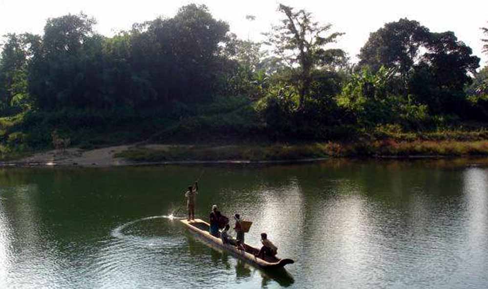
The waterfall plunges approximately 30 meters over a series of rocky ledges into a clear pool surrounded by moss-covered boulders and ferns. Local Garo communities consider the site sacred, performing traditional rituals here during harvest festivals.
The trail to Rongbang Dare passes through old-growth forest with some of the park's largest trees—specimens of Dipterocarpus and Artocarpus exceeding four meters in girth. Birdwatching along this route is exceptional, particularly for hornbills and woodpeckers.
Access is limited to the dry season (November-April). During monsoon, the streams become impassable and leech infestations make trekking unbearable.
PLANNING YOUR VISIT: PRACTICAL INFORMATION
Nokrek's remoteness and limited infrastructure mean careful planning is essential.
Best Time to Visit:
- October to May: Dry season; clear skies; ideal for trekking and wildlife viewing
- November to February: Coolest months; best for summit treks; morning mist clears by 9-10 AM
- March to May: Warmer; flowering season; citrus blossoms visible in Gene Sanctuary
- June to September: Monsoon; avoid—trails waterlogged, leeches abundant, landslides frequent
Getting There:
By Air:
- Guwahati Lokpriya Gopinath Bordoloi International Airport (367 km from park)
- Helicopter service Guwahati-Tura (limited schedule; book through Meghalaya Tourism)
By Rail:
- Guwahati Railway Station (approximately 350 km)
- Dudhnoi Railway Station (200 km)—closer but limited train connections
By Road:
- Guwahati to Tura: 219 km via NH217 (6-7 hours)
- Shillong to Tura: 121 km via NH62 (4-5 hours)
- Tura to Daribokgre (park entry): 33 km (1.5-2 hours; last 12 km rough track requiring 4WD)
Accommodation:
Within Park: None. No overnight facilities inside the reserve.
Daribokgre Village: Basic homestays (₹500-800 per night); limited amenities; meals available if arranged in advance.
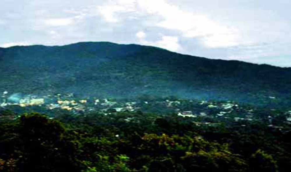
Tura Town (45 km): Range of options from budget lodges to mid-range hotels:
- Budget: ₹800-1,200 per night
- Mid-range: ₹1,500-2,500 per night
- Includes Hotel Orchid, Hotel Regal, Circuit House (government officials priority)
Permits and Fees:
Entry Permits (Required):
- Apply through Divisional Forest Officer, West Garo Hills, Tura
- Phone: +91-3651-222001
- Email: dfo.wgh-meg@nic.in
- Processing: 2-3 days minimum; apply well in advance
Entry Fees:
- Indians: ₹50
- Foreigners: ₹500
- Camera: ₹100
- Video camera: ₹500
Guide Fees:
- Mandatory for core zone access
- ₹1,000-1,500 per day per group (up to 6 people)
- Arrange through Forest Department or Daribokgre village headman
What to Bring:
Essential Gear:
- Sturdy trekking boots (waterproof)
- Layered clothing (mornings cold; afternoons warm)
- Rain jacket (weather changes rapidly)
- Insect repellent (100% DEET recommended)
- Leech-proof socks or salt/tobacco for leech removal
- Water purification tablets (2-3 liters capacity)
- Headlamp with spare batteries
- First aid kit (include antihistamines, antiseptic)
- Binoculars
- All food and snacks (nothing available in park)
- Trekking poles (helpful on steep sections)
Optional:
- Field guides for birds, mammals, plants
- GPS device or downloaded offline maps
- Camera with telephoto lens
Sample Itinerary (3 Days/2 Nights):
Day 1:
- Arrive Tura; overnight at hotel
- Permit collection if pre-arranged
- Gear check and supply purchase
Day 2:
- Early departure to Daribokgre (7:00 AM)
- Meet guide; final briefing
- Summit trek (8:00 AM-4:00 PM)
- Return to Daribokgre homestay; overnight
Day 3:
- Optional: Rongbang Dare trek (if time/energy allows)
- Return to Tura by afternoon
Budget Estimate (Per Person):
Excluding major transport to Meghalaya:
- Accommodation (2 nights Tura + 1 night Daribokgre): ₹2,300-4,000
- Vehicle hire (Tura-Daribokgre-Tura): ₹3,000-4,000 (shared)
- Guide fee: ₹1,200-1,500 (shared)
- Entry permits and fees: ₹150-600
- Meals (3 days): ₹900-1,500
Total: ₹7,550-11,600 (approximately $90-140 USD)
CONSERVATION CHALLENGES: MINING, SHIFTING CULTIVATION, AND CLIMATE CHANGE
For all its ecological significance, Nokrek faces conservation challenges that threaten its long-term viability. A comprehensive 2015 study by Singh identified multiple pressures:
Coal Mining in Buffer Zones
Extensive coal mining operations in the Nokrek Biosphere Reserve's buffer zone have caused severe habitat degradation. Singh (2015) documented:
"Extensive coal mining activity in the buffer zone of the Nokrek Biosphere Reserve (NBR) in Meghalaya, India, has led to habitat degradation and a landscape modified beyond recognition" (p. 345).
A study by Sarma and Barik (2011, cited in Singh, 2015) found that coal extraction using "rat-hole" mining techniques—illegal but widespread—creates hundreds of small shafts and tunnels that collapse, contaminate streams with acid mine drainage, and fragment wildlife corridors.
The economic incentive is powerful: a single coal-mining family can earn ₹30,000-50,000 per month, vastly exceeding income from agriculture or forest products. State government efforts to curb illegal mining face resistance from local communities who view the resources as theirs to exploit under traditional land tenure systems.
Shifting Cultivation (Jhum) Encroachment
Traditional jhum cultivation—slash-and-burn agriculture—has been practiced by Garo communities for centuries. Historically, cycles of 15-20 years allowed forest regeneration. Population pressure has shortened fallow periods to 5-7 years, preventing full recovery (Singh, 2015).
Research in the transitional zone found:
"Biodiversity loss in Nokrek is linked to human pressures, with species disappearing at rates over 1,000 times historical norms" (Academia, 2024, para. 3).
Cultivation now extends to steep slopes previously left forested, triggering erosion, reducing water retention, and creating barriers to animal movement.
Climate Change Impacts
A 2025 perception-based analysis among the A'chik (Garo) community in Nokrek's transitional zone documented widespread awareness of climate shifts (ScienceDirect, 2025). Villagers reported:
- Delayed monsoon onset (2-3 weeks later than 1980s)
- Reduced total rainfall but more intense storm events
- Warmer winters (less frost at elevations where frost previously occurred)
- Shifts in flowering/fruiting times for wild plants they depend on
These changes stress Citrus indica populations adapted to historical climate patterns. Red pandas, with narrow thermal tolerance, face particular risk: research suggests even 1-2°C warming could render current habitat unsuitable (Red Panda Network, 2023).
Limited Enforcement Capacity
The Forest Department operates Nokrek with a staff of:
- 1 Range Forest Officer
- 4-5 forest guards
- Seasonal temporary staff during tourist season
This small team must patrol 47.48 square kilometers of rugged terrain, monitor multiple threats, manage tourism, conduct wildlife surveys, and engage with surrounding communities. The task is simply beyond available resources.
VISITOR PERSPECTIVES: TESTIMONIALS FROM THE TRAIL
Those who make the journey often describe Nokrek in reverent terms:
"Nokrek National Park is an absolute gem tucked away in the Garo Hills. If you're looking for something raw and offbeat, this place delivers" (Postcard, 2025, para. 1).
Another visitor emphasized the cultural dimension:
"Explore lush forests, vibrant wildlife, and scenic trekking paths. Nokrek is also part of an important ecosystem that supports various endemic species while preserving the indigenous Garo traditions" (MindTrip, 2024, para. 2).
A TripAdvisor review highlighted practical considerations:
"Best way to reach the park is early morning by pickup truck or sumo because of the road conditions. December will give you eye-pleasing orange plantation all around" (TripAdvisor, 2026, review 2).
Several reviewers noted the importance of guides:
"Life is so close to nature when we step here. I was accompanied by Range Forest Officer Anne who guided all the trip and provided good information about Nokrek" (WanderBoat, 2025, para. 3).
The consistent theme: Nokrek rewards those willing to accept discomfort, limited facilities, and uncertainty in exchange for authentic wilderness and cultural immersion.
NEARBY ATTRACTIONS: EXTENDING YOUR GARO HILLS ADVENTURE
Balpakram National Park (152 km from Tura)
The "Land of Spirits" in Garo mythology; dramatic canyon system; red pandas; carnivorous pitcher plants; 2-3 day trip.
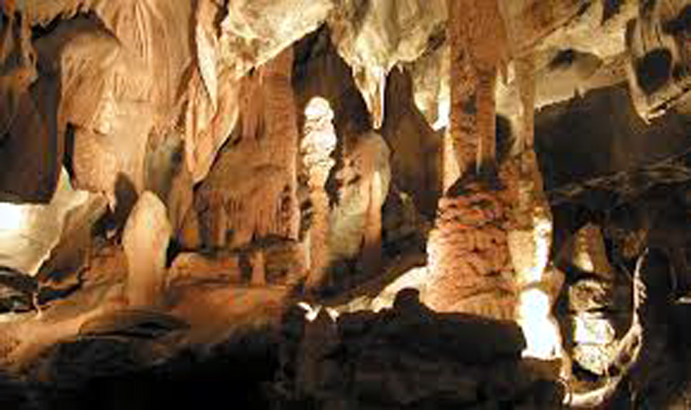
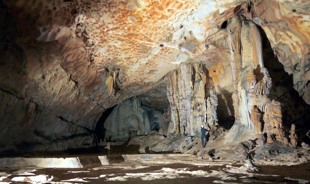
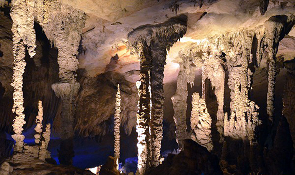
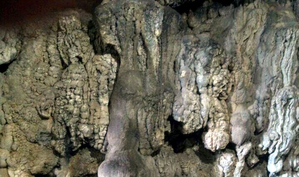
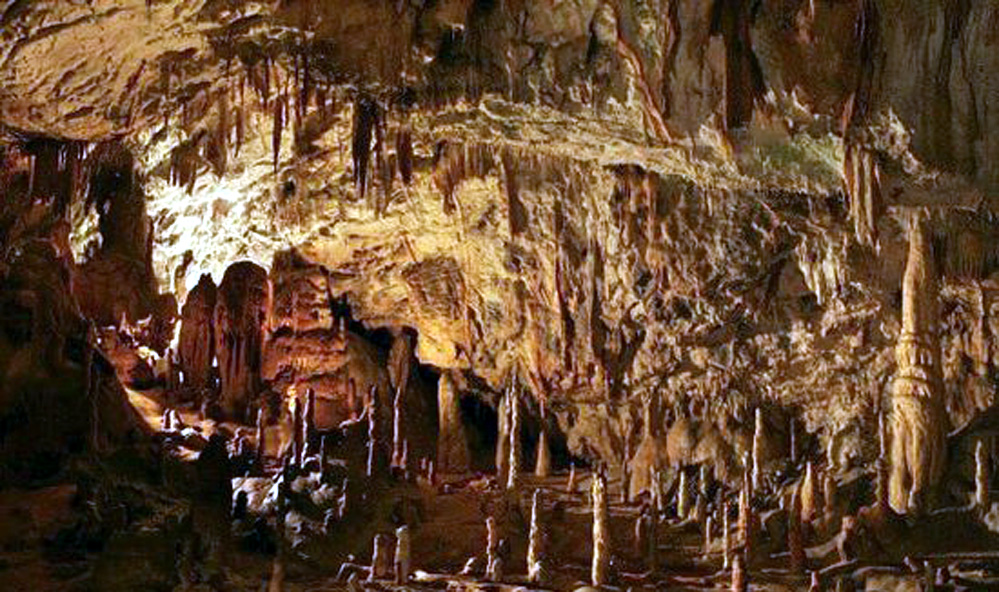
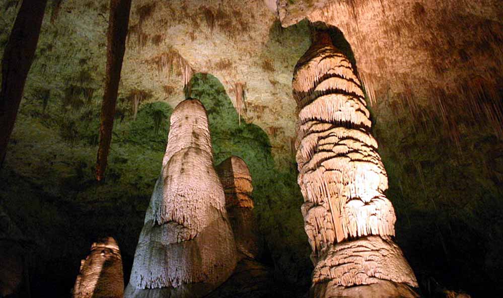
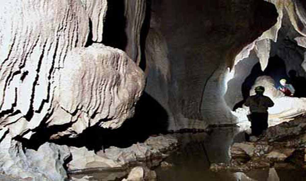
Siju Cave (Dobakhol) (117 km from Tura)
India's third-longest cave; tens of thousands of bats; limestone formations; underground rivers; 2-3 hour exploration.
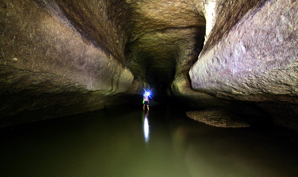
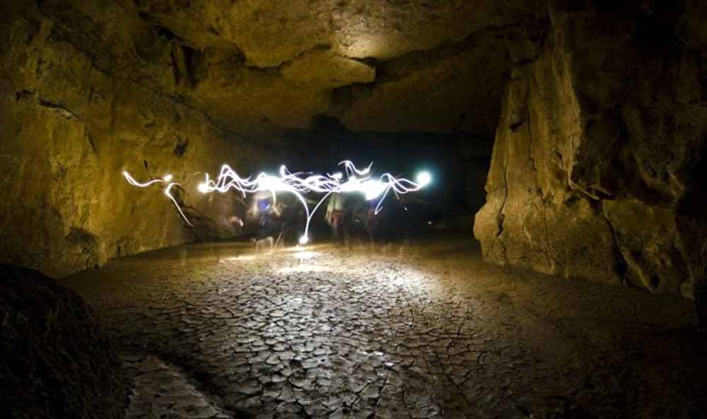
Nengkong Cave (73 km from Tura)
Tetengkol Balwakol system—India's second-longest cave at 5.7 km; advanced caving only; full-day expedition.
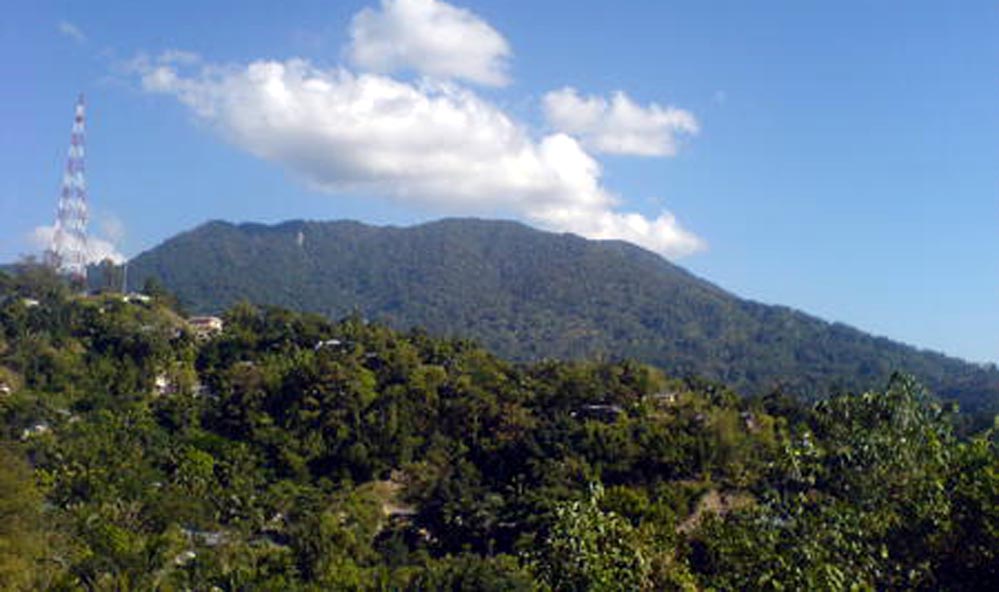
Tura Peak (4 km from Tura)
Lower elevation viewpoint (872 m); easier access; sunset views; botanical garden; half-day trip.
Pelga Falls (50 km from Tura)
Seasonal waterfall (best July-September); swimming; picnic spot; day trip.
THE VERDICT: FOR WHOM IS NOKREK?
Nokrek National Park is decidedly not for mainstream tourists. It offers no safari vehicles, no comfortable lodges, no Instagram-perfect infrastructure. Mobile signals vanish. Medical facilities are hours away. Wildlife sightings are never guaranteed—red pandas especially remain elusive.
This park is for:
- Serious trekkers who value challenge over comfort
- Botanists and naturalists fascinated by rare species
- Conservation-minded travelers wanting to support community-based protection
- Those seeking genuine wilderness without commercial tourism
- Researchers and students of ecology, biodiversity, or indigenous resource management
This park is not for:
- Casual sightseers expecting easy access
- Those requiring reliable communications and amenities
- Travelers uncomfortable with uncertainty and basic facilities
- Anyone unable to walk 16-18 km over moderately difficult terrain
For those suited to its demands, Nokrek delivers experiences unavailable elsewhere in India: the chance to walk through forests where the world's citrus originated, to search for red pandas thriving impossibly far from snowy mountains, to witness conservation happening through indigenous land stewardship rather than imposed regulations.
In an era when wilderness shrinks and biodiversity collapses, Nokrek stands as proof that small, well-managed protected areas can harbor global significance. Whether it can survive the pressures bearing down—mining, agriculture, climate change, limited resources—remains an open question.
But for now, on the ridges above Daribokgre, Citrus indica still fruits. Red pandas still climb. And the forest still holds secrets science has barely begun to uncover.
ESSENTIAL INFORMATION
Key Species
Flora: Citrus indica (Indian wild orange), 800+ plant species, 30+ orchid species
Mammals: Red panda, Asian elephant, Western hoolock gibbon, clouded leopard, marbled cat, stump-tailed macaque, slow loris
Birds: Great hornbill, rufous-necked hornbill, Blyth's tragopan, 250+ species
UNESCO Recognition
Nokrek Biosphere Reserve—World Network of Biosphere Reserves (May 2009)
National Citrus Gene Sanctuary—only facility globally dedicated to wild citrus conservation
Conservation Status
Protected national park and UNESCO Biosphere Reserve; ongoing threats from coal mining, shifting cultivation, climate change, limited enforcement capacity
REFERENCES
Academia. (2024). Forest issues and challenges in protected area management: A case study from Himalayan Nokrek National Park and Biosphere Reserve, India. https://www.academia.edu/86885009/
Capture A Trip. (2024). Nokrek National Park: The ultimate nature guide! https://www.captureatrip.com/blog/nokrek-national-park
Chetry, S., Deb, C. R., & Brahma, I. (2021). Morpho-physico-chemical characterization of Indian wild orange (Citrus indica Tanaka, syn. C. latipes Tanaka) from Nokrek Biosphere Reserve of Meghalaya, India. International Journal of Current Microbiology and Applied Sciences, 10(1), 869-881. https://www.ijcmas.com/10-1-2021/S. Chetry, et al.pdf
Devi, S. S., Talukdar, A. D., & Prakash, N. (2009). ISSR polymorphism in Indian wild orange (Citrus indica Tanaka, syn. C. latipes Tanaka) and related wild species in north-east India. Scientia Horticulturae, 123(2), 350-359. https://doi.org/10.1016/j.scienta.2009.09.009
Down To Earth. (2009, January 31). Local citrus goes global. https://www.downtoearth.org.in/environment/local-citrus-goes-global-2951
Key Biodiversity Areas. (2024). Nokrek National Park (18285) India, Asia. https://www.keybiodiversityareas.org/site/factsheet/18285
MindTrip. (2024). Nokrek National Park | What to know before you go. https://mindtrip.ai/attraction/williamnagar-meghalaya/nokrek-national-park/at-XxUWxf7M
National Bureau of Plant Genetic Resources. (2012). Citrus genetic resources in India. NBPGR-PGR Informatics. http://pgrinformatics.nbpgr.ernet.in/cryobank/img/books/CitrusBook.pdf
Postcard. (2025, November 3). Nokrek National Park - South Garo Hills. https://www.postcard.inc/places/nokrek-national-park-south-garo-hills-UjbX8ym2lEt
Red Panda Network. (2023). Climate change and red pandas. https://redpandanetwork.org/red-panda-facts/threats/
Red Panda Zine. (2017, June 28). The mysterious red pandas of Meghalaya. https://redpandazine.com/2017/06/28/red-pandas-meghalaya/
ScienceDirect. (2025). Perception-based analysis of climate change impacts on the forest ecosystem services in Nokrek Biosphere Reserve, Meghalaya. https://www.sciencedirect.com/science/article/pii/S2666719325001864
Singh, R. K. (2015). Forest issues and challenges in protected area management: A case study from Himalayan Nokrek National Park and Biosphere Reserve, India. International Journal of Conservation Science, 6(3), 345-356. https://ijcs.ro/public/IJCS-15-23_Singh.pdf
TripAdvisor. (2026). Nokrek National Park (2026) - All you need to know before you go. https://www.tripadvisor.com/Attraction_Review-g1591396-d3639256-Reviews-Nokrek_National_Park-Tura_West_Garo_Hills_District_Meghalaya.html
UNESCO. (2009). Nokrek Biosphere Reserve, India. https://en.unesco.org/biosphere/aspac/nokrek
WanderBoat. (2025). Nokrek National Park in Meghalaya, India. https://wanderboat.ai/attractions/india/meghalaya/nokrek-national-park/
Wanderlog. (2024). Nokrek National Park, Tura, India - Reviews, ratings, tips. https://wanderlog.com/place/details/754330/nokrek-national-park
Wikipedia. (2024). Nokrek National Park. https://en.wikipedia.org/wiki/Nokrek_National_Park
This article was researched and written in January 2026 with reference to peer-reviewed scientific publications, UNESCO reports, government documents, conservation assessments, and visitor testimonials. Field research support provided by the Meghalaya Forest Department and local Garo guides.